
Sandoval County Open Space
Information about Open Space areas located in Sandoval County.
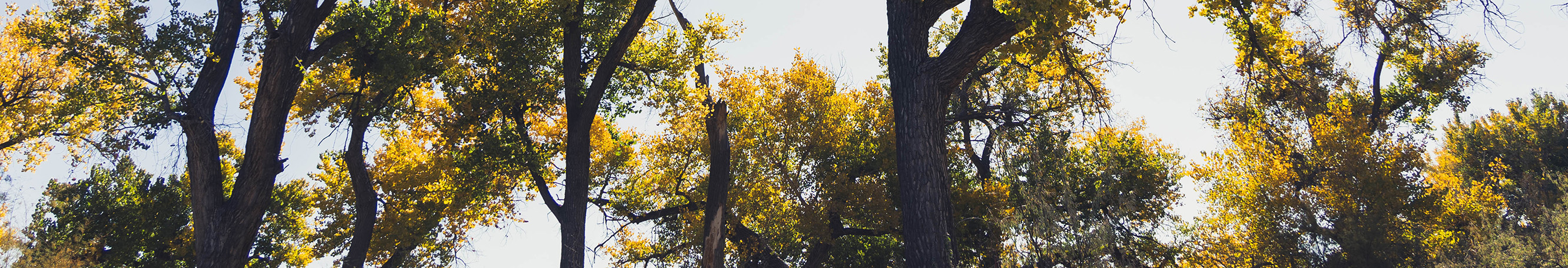
Acquired in 1964, this 1,200-acre parcel is among some of the first properties set aside by the City of Albuquerque for the preservation of nature. Breathtaking views of mesas and colorful arroyos make this remote and seldom-visited property a great escape from the city.
This land is located north of San Pedro Creek Estates on Highway 337 in the East Mountains. It is adjacent to a portion of San Pedro Creek, which is protected by a conservation easement managed by the Intermountain Conservation Trust. This area is a natural haven for wildlife and is home to many striking landforms and archaeological ruins.
Download maps of Sandoval County Open Space lands.
The Los Duendes Trail
The Los Duendes Trail is a 2.25 mile trail loop on the north mesa accessed from La Madera Road that is popular with hikers, mountain bikers and horseback riders. Several other trails are currently in development.
Access
- From Interstate 40 get off at the Tijeras exit;
- About 7 miles north on Highway 14 turn west on La Madera Road just north of the East Mountain Elementary High School;
- La Madera becomes a narrow and winding dirt road after 9 miles and passes through private property. Please respect the private property and remain on the road.
The road cuts through the northwest corner of the Open Space. The majority of the land is on the south side of the road.
Video: 360-Video Sandoval County Open Space
Placitas
This 560-acre parcel located in the heart of Placitas has fast become a popular area for local residents. Surrounded by development on three sides, it offers low-impact recreational opportunities. This site also contains a portion of Las Huertas Creek with riparian and wetland habitat in portions of the creek. Local residents, including the Las Placitas Association and the Open Space Division, have been actively restoring the creek area.
Future plans include formalization of parking and access to the property from the northeast corner and from the west.
Master planning for this area allows for multi-use trails, education programs, land reclamation and protection of archaeological sites.
Download the Placitas Master Plan.
Access
- From Interstate 25 take Exit 242 onto Highway 165.
- From Highway 165 there are eastern and western entrances to the property.
Please respect all private property in the area.