
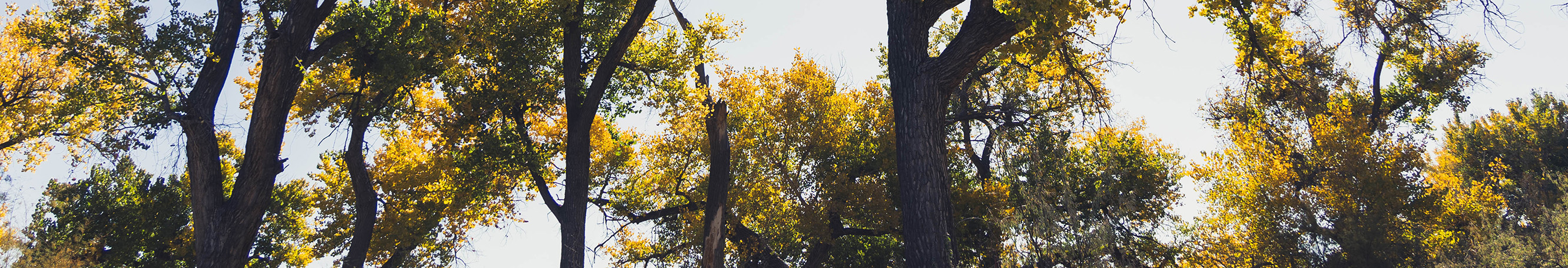
West Mesa Open Space
Information about West Mesa Open Space trailheads and planning efforts.
The City of Albuquerque Open Space Division (OSD) manages more than 30,000 acres of protected land citywide, including over 10,000 acres on the West Mesa. Much of this land protects the volcanic landscape, arroyos, and sweeping vistas surrounding Petroglyph National Monument. While the Monument is co-managed with the National Park Service, the City also manages thousands of acres of adjacent Open Space to conserve resources, preserve views, and provide low-impact recreation.
Much of the open space acquired around the volcanoes, on the mesa top, and along the volcanic escarpment was included within Petroglyph National Monument in 1990. However, large tracts adjacent to the Monument remain under the sole
management of

The Mesa Grasslands Preserve consists of over 3,800 acres west of the volcanoes in the Rio Puerco Valley. This area provides valuable habitat for certain plant and wildlife including an open range for herds of pronghorn antelope.
Areas
The West Mesa Open Space contains the following areas:
- Petroglyph National Monument contains a number of areas of cultural and geologic importance.
- Piedras Marcadas Canyon provides trails to ancient petroglyphs.
- Boca Negra Canyon has three trails leading to ancient petroglyphs.
- Rinconada Canyon has a 1.3 mile trail leading to ancient petroglyphs.
- Volcanoes - the remains of five dormant volcanic cores.
- Grasslands Preserve is undeveloped and closed to the public.
- Paseo de la Mesa Multi-Use Trail. Take a ride or a stroll on a new addition to the West Mesa trails network!
- Shooting Range State Park is a fee area for target shooting.
- La Boca Negra Horseman's Complex
- George J. Maloof Memorial Air Park
- Ruth Eisenberg (new trailhead)
- Volcano View (new trailhead)
West Mesa Trails Plan- New Trail Facilities
To guide future recreation and conservation investments, the OSD collaborated with community members and partners, including the National Park Service, to develop a conceptual trail network connecting key destinations across the West Mesa. This vision, funded through City Council Resolution R-21-228, led to the West Mesa Trails Plan, completed in 2024 in partnership with Sites Southwest. The plan identifies up to 25 miles of future multi-use trails linking natural features, recreation areas, new development, and Petroglyph National Monument lands.
To support implementation of Phase One improvements, the City secured a 1/4 cent Transportation Infrastructure GRT Fund, and New Mexico Outdoor Recreation Trails+ Grant matched by City funds. This phase in now completed and focused on the Paseo de la Mesa Trail System, which includes:
- Ruth Eisenberg Trailhead
- Volcano View Trail is 6.5 miles of new natural multi-use trail
- Paseo de la Mesa Trail is 4.2 miles of paved multi-use trails
The new Ruth Eisenberg Trailhead, located off Atrisco Vista Boulevard, provides access to two distinct trails. The first is the newly paved 4.2-mile Paseo de la Mesa Trail, and the second is the Volcano View Trail, a new 6.5-mile natural surface trail. Both trails are open to walkers, hikers, cyclists, and families and begin at the Ruth Eisenberg Trailhead. Each trail terminates at different locations along 81st Street. Volcano View ends on the south side of the La Boca Negra Horseman’s Complex, while Paseo de la Mesa ends on the north side of the complex.
The Ruth Eisenberg Trailhead honors Ruth Eisenberg—known as the "Volcano Lady"—whose advocacy helped secure and protect the volcanoes and surrounding West Mesa lands from development. Eisenberg was also a founding member of the Open Space Task Force, a citizen-led effort that eventually resulted in the Open Space Program we know today with over 30,000 acres of land that the City manages throughout the Albuquerque area, including the Sandia Mountains, arroyos, and the Rio Grande Bosque. Her tireless advocacy was instrumental in securing and preserving the volcanoes and surrounding West Mesa lands from development, helping lay the foundations for the establishment of the Petroglyph National Monument.
La Cuentista Open Space- Current Planning Efforts
The City is also proud to announce the acquisition of La Cuentista Open Space, a 59.26-acre property purchased through a phased agreement with Elk Haven LLC. Of this total, 37.26 acres were purchased and 22 acres were generously donated in three phases by Stan Diamond and Francies Pavich, with the final property transfer completed in December 2024.
As identified in the West Mesa Trails Plan, the next priority for this site is to develop trails and a trailhead that will connect La Cuentista to the broader West Mesa trail network. To advance this vision, the City will begin a phased development approach, starting with community engagement and conceptual planning in 2026.
This process will include working closely with nearby residents, trail users, and community partners to develop a thoughtful and sustainable plan that aligns with the Open Space Division’s mission of low-impact recreation, resource protection, and long-term stewardship.
In the interim, the property has been fenced to protect natural resources and prevent illegal dumping while funding and planning efforts progress.
Questions? Please email [email protected].
