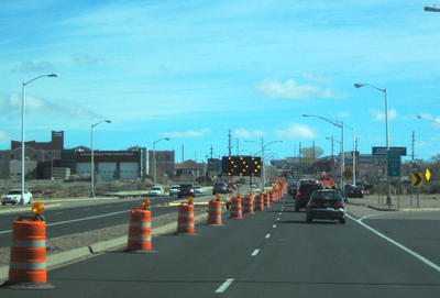
Barricades & Public Right-of-Way Permit Map for Traffic Information
Find information about Albuquerque's right-of-way and construction activities.

Construction Maps
Although construction keeps Albuquerque maintained, it can interfere with daily plans and activities. To help ease your commute, we offer many ways to learn about City construction activities.
View the Fiber Company Public Right-of-way Permit Map
Public Right-of-Way Permit Map
This regularly-updated street map shows current permitted construction within City jurisdiction.* Clicking on an activity line will display the activity's description, location, date range, and responsible contractor.
Download: Current Traffic Report
*Please note this map may not include emergency activities such water, sewer, or gas line leaks. Construction dates are also subject to change due to unforeseen circumstances.
*This map does not reflect closures on streets owned and maintained by private facilities, Bernalillo County, or the New Mexico Department of Transportation (NMDOT).
For more information, or if you have concerns about a construction activity, please call 311 locally, or (505)-924-3400.
You can also visit the New Mexico Department of Transportation for road advisories, road conditions, and a list of construction projects.
Fiber Company Public Right-of-way Permit Map
Please visit the Broadband Office High Speed Fiber Internet Expansion for information fiber construction and contact information.
Explore Maps
Many maps, apps, and datasets are available on the DMD GIS Hub Site.
Visit Hub Site